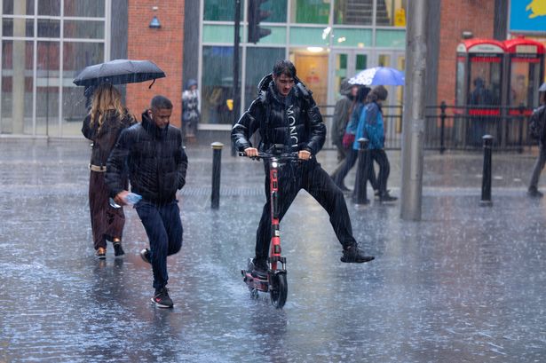
The Met Office has issued a weather warning for parts of Merseyside.
A yellow weather warning for rain is in place from 5pm today until 9pm on Tuesday and a yellow weather warning for wind is also in place from 8am on Tuesday until 9pm that day. The warning covers parts of Liverpool's waterfront and the likes of Garston and Speke.
Parts of the Wirral, including Bromborough, Neston and Eastham, are also impacted by the weather warnings. The Met Office said heavy rain falling on saturated ground is likely to cause some travel disruption.
READ MORE: Enter our £2,000 Wickes voucher giveaway and step into 2024 with style
READ MORE: Win a two-night shopping mini-break at Hyatt House London Stratford
Forecasters said people could expect flooding of a few homes and businesses, spray and flooding on the roads and bus and train services taking longer. On Tuesday, a spell of very windy weather is also likely to cause disruption.
The Met Office said some delays to road, rail, air and ferry transport are likely and damage to trees is possible, it’s likely that some coastal routes, sea fronts and coastal communities will be affected by spray and/or large waves and some bus and train services affected, with some journeys taking longer on Tuesday.
There could also be some short term loss of power and other services. A spokesperson for the Met Office said: "Following recent wet weather, further spells of rain, heavy in places are expected on Monday evening and overnight. Then after a brief gap, another spell of heavy rain is likely to spread northeastwards on Tuesday.
"The focus this evening and overnight will be across parts of southwest and southern England, south Wales and perhaps the Midlands. On Tuesday the focus for the heaviest rain is less clear-cut but perhaps more likely across parts of Wales, the Midlands towards eastern England and Yorkshire. Over the warning period, 15 to 30 mm rain is likely to fall fairly widely, with a few places seeing 35 to 50mm.
"The worst of the rain should clear southwestern areas of England and south Wales by around the middle of Tuesday but could last into the evening across the northeast of the warning area. Strong winds will affect parts of the area, with a separate wind warning in place."
Don't miss the biggest and breaking stories by signing up to the Echo Daily newsletter here

