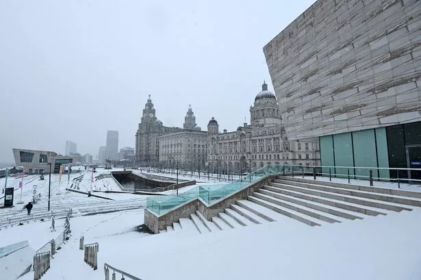
The Met Office has issued a snow warning across various parts of the UK as temperatures plummet.
Winter weather has arrived as a yellow alert is in force on the east of the country and parts of Scotland. Liverpool has been hit with freezing temperatures today also as forecasters predict it will go to subzero levels tonight.
However, Merseyside is set to once again remain snow free and the region traditionally sees much less snow than other areas. The ECHO spoke to the Met Office who explained there are three main factors to Liverpool's lack of snow.
Try Liverpool Echo Premium for 99p with no ads, fun puzzles and brilliant new features
READ MORE: Coronation Street's Alan Halsall flooded with support as he makes career announcement
Grahame Madge revealed Liverpool's proximity to the coast, mild temperatures, and the Welsh hills are the reason why we don't get as much snow. He said: "The fact that Liverpool is both low-lying and close to the Irish Sea means that temperatures are likely to be warmer than average.
"The bigger point is that when you look at the flow of precipitation, in general, if you've got a flow coming in from the south-westerly direction coming up the Irish Sea, Liverpool will be shielded by the mountains in North Wales and Snowdonia.
"So they will take a lot of the moisture out and once the clouds have passed over North Wales then they've actually shed a lot of rainfall/snowfall that they would have been containing."
He added: "When you look at a map of average rainfall amounts, Liverpool and parts of the North West, apart from the higher grounds around Manchester, are relatively dry compared with 70 miles southwest into the mountains of Wales."
There is another geographical reason as Liverpool's low-lying ground close to the coast means that temperatures are warmer, as the higher you go uphill the colder it generally becomes. But Mr. Madge said this weather pattern isn't always the case.
He said: "Things do vary, in a normal winter you've got weather coming in from the Atlantic and that's driven by the jet stream which is a fast-flowing ribbon of air high up in the atmosphere and it steers the systems airway.
"However we do get changes to that over winter. The Beast from the East saw excessive cold air coming in and then obviously regions like Liverpool don't necessarily have that shield.
"When you get a north-westerly air coming down the Irish Sea across the Isle of Man and straight into Liverpool, that is a weather pattern that will bring potentially more snow to Liverpool. You've got a colder air mass coming in from a northwesterly direction that has quite a long sea track so it picks up more moisture and would be a more moisture-laden air and that's when you can expect Liverpool to be more on the frontline of snowfall."
Don't miss the biggest and breaking stories by signing up to the Echo Daily newsletter here
Win a £250 Buyagift voucher and make treasured memories this Christmas

