Get the free Morning Headlines email for news from our reporters across the world
Sign up to our free Morning Headlines email
The Met office has forecasted a mixed week in the UK with cold weather including snow and ice expected in the beginning of the week, followed by milder conditions later.
A map shared by the forecaster showed that a cold front is expected to push through overnight on Monday leaving cold air behind.
In a press statement, the Met Office said a number of National Severe Weather Warnings are in place for wind, snow and ice and there is a chance more warnings will be issued as the week progresses.
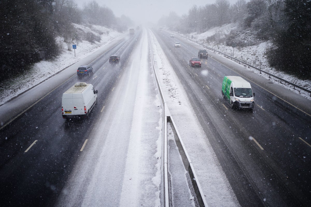
On Monday night, the Met Office forecasted yellow weather warnings for snow and ice in several areas for Tuesday.
Recommended
- Brits tell Russia: There’s nothing wrong with eating squirrel
- Silicon Valley Bank hit with lawsuit for misleading stockholders after failure – live
- HSBC to buy Silicon Valley Bank UK after weekend of crisis talks
“A widespread frost will develop over the northern half of UK,” it said.
Frost is expected in Glasgow, Belfast, Stornoway, Aberdeen, Lerwick among others.
Rain, sleet and snow is expected to impact travel and create unsafe conditions on slippery roads and pavements.
“An area of low pressure moving eastward has brought a mild, and blustery start to the week for much of England and Wales, with showers and some coastal gales. However, an Arctic maritime air mass will reassert itself from the north later today bringing with it another dose of snow and frosty nights for some,” said Met Office chief forecaster Dan Suri.
The Met office has also said that from Wednesday while frost and ice will begin the day, rain and hill snow will edge eastward from the afternoon.
Recommended
- How to protect your homes from ice and snow
- Satellite imagery shows extent of destruction in Bakhmut as fighting intensifies
- UK will give France nearly £500,000m in bid to solve small boats crisis
On Thursday, an “unsettled day” is expected with outbreaks of rain and strong winds and temperatures rising back into double figures in areas away from northern Scotland.
Showers are expected on Friday with the risk of hail and thunder.
✕
Subscribe to Independent Premium to bookmark this article
Want to bookmark your favourite articles and stories to read or reference later? Start your Independent Premium subscription today.
SubscribeAlready subscribed? Log in{{/url}}

