
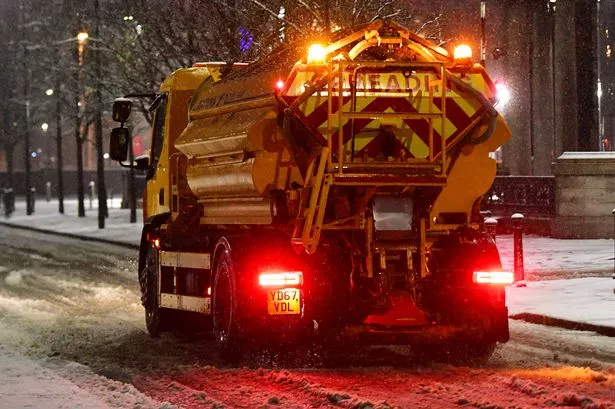
The Met Office has warned the UK could be set for more wintry conditions after Merseyside was blanketed by snow last week.
Snow swept across Liverpool recently, causing travel disruptions on the road and rail networks as well as forcing some schools to close their doors as conditions were deemed too dangerous. The recent icy conditions were the result of a plume of Arctic air, according to experts, but the wintery weather isn't set to clear any time soon.
The Met Office looks weeks in advance to plot out and predict what weather we can expect, with the latest long range forecast now crossing into February. It predicts chances of snow along with rainy spells and cold temperatures.
READ MORE: Met Office update 'danger to life' weather warning as Merseyside braces for Storm Isha
Between January 26 and February 4, the predictions claim: "Rather unsettled with further spells of rain and showers at times, but also some drier and brighter interludes. Initially, the heaviest and most frequent spells of rain will tend to be across western areas. However, over the weekend, rain should become mostly confined to the northwest with plenty of dry weather elsewhere.
"Cloud amounts probably quite variable, but some clear and sunny spells are likely, especially in the south and east. Here, some overnight frost and fog is possible.
"Beyond next weekend, rather changeable conditions are likely, with further spells of rain and showers for most areas, but overall, probably a good deal of dry weather, particularly in the south. Overall on the mild side, although with a risk of overnight frost and fog, especially in the south."
As we look further ahead into the month, going as far as February 18, the forecast reads: "Into early February there is an increased likelihood of high pressure having greater influence on UK weather patterns. There is uncertainty in exactly where high pressure will become established but, regardless, this does increases the likelihood of drier conditions.
"There is also a greater than normal likelihood of winds from the north or east leading to an increased chance, compared to normal, of cold spells. Colder spells, with hazards such as snow and ice, are more likely towards mid-February, rather than earlier in the month.
"Whilst a drier and colder scenario is most likely through this period, there remains a chance of milder interludes with spells of rain and strong winds, especially across the north."
There are many ways to keep up with news in Liverpool and our website is just one. Below you can find details about our premium app with a smooth interface, and no adverts. You will also find links to our breaking whatsapp community, Facebook page, our in-depth Daily Post newsletter.
Try Liverpool Echo Premium for 99p with no ads, fun puzzles and brilliant new features
Don’t miss the biggest and breaking news by joining our dedicated WhatsApp community. R
The Liverpool Daily Post newsletter delves into the biggest stories on Merseyside