
In the last week, parts of Europe have been experiencing extreme heat.
Italy experienced its third heatwave of the summer, while temperatures are forecast to spike in Spain. The Greek Islands have been battling wildfires which have seen thousands of holiday makers evacuated from Rhodes.
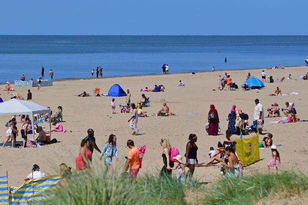
Reports have suggested that the UK could be next with "scorching" temperatures reportedly set to return. While most of the UK including Merseyside, have been drenched in torrential downpours after a yellow warning was put in place earlier in the week, this could be about to change.
Many people are asking if the European heatwave will be coming to the UK Wales Online reports. According to the Express, the weather could change with weather maps suggesting that mercury levels are likely to skyrocket above 25C next weekend as a result of the blistering weather in Europe.
READ MORE: Mum bought former Scouse celeb's home after falling in love with inside feature
Maps from Netweather.tv show temperatures reaching the mid to late twenties for parts of the UK.
However, as it stands, the Met Office doesn't predict the UK will see any hot summer temperatures until around mid-August. A BBC weather expert has also confirmed the same thing, saying, "weather patterns have been stuck in the same position and there is no real sign of that changing".
Therefore, no extreme heat or weather has been forecast in the coming weeks. For this week, for example, the Met Office predicts that, from Thursday (July 27) onwards, this period is likely to begin with cloud and rain spreading across much of the UK, but the far north may remain drier.
In its long range outlook, it added: "Once this clears, a showery regime is likely, with longer spells of rain still possible. The wettest conditions are likely in the north and west. Fresh to strong winds are likely at times, especially near western and southern coasts. Temperatures around average or rather cool, especially in more persistent rain or showers.
"Through the rest of this period, a similar theme is likely to continue with a mixture of showers and longer spells of rain, especially towards the northwest, along with some drier interludes, these perhaps becoming slightly more likely towards the southeast later. Temperatures mostly below average for the time of year."
As it stands for this week, Liverpool will see a mixture of sunshine and showers on Tuesday, locally heavy and perhaps merging for a time. The forecaster predicts the weather will turn unsettled on Wednesday and Thursday with rain returning, accompanied by stronger winds and rather cool temperatures.
For the weekend, Liverpool will experience some sun but this will be short-lived with the forecast changing to light showers by late morning.
For now, no heatwave has been predicted for the UK according to the Met Office, as August may see a continuation of unsettled conditions we've been experiencing in July, with a mixture of scattered showers and longer periods of rain. But towards the middle of the month, the Met Office has said that settled interludes may develop into a gradual settling down of conditions overall with longer periods of drier weather and more sunshine compared with previous weeks.
Don't miss the biggest and breaking stories by signing up to the Echo Daily newsletter here